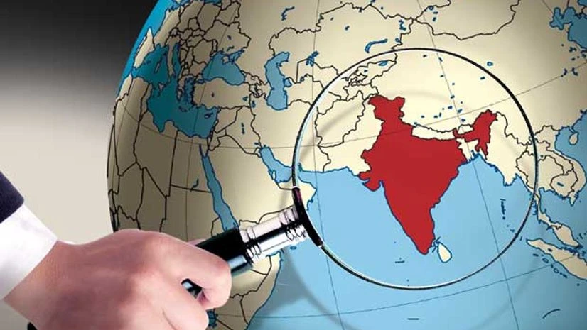
The government's draft Geospatial Information Regulation Bill has already become a subject of controversy. The introductory note highlights the intent, to establish guidelines for acquisition, dissemination, publication and distribution of geospatial data that is likely to affect the country's security, sovereignty and integrity.
It proposes to introduce a range of penal consequences for illegal acquisition or dissemination of Indian geospatial data and for incorrect depictions of Indian maps. The sanctions range from fines of Rs 1 crore up to Rs 100 crore, as well as terms of imprisonment up to seven years.
The draft contemplates a licensing and security-vetting regime, in line with 'national policies', with obligations on licensees and penalties for violations. It envisages an apex committee and enforcement authority to oversee implementation and ensure compliance.
Also Read
"The way and the manner in which the Bill has been drafted, in such wide terms and extremely broad ambit and amplitude, are likely to raise legal, policy and regulatory challenges as we go forward," says Pavan Duggal, advocate, Supreme Court."The licensing regime will cover a broad gamut of activities, from mapping to taking photos on a camera with location data enabled," says Prasanth Sugathan, counsel for SFLC.in, a non-profit organisation representing the rights of internet users and free software developers.
Sanjay Kumar, president, Association of Geospatial Industries, notes there already are regulations to deal with misrepresentation of geospatial data or maps. "We have a similar rule in existence from 1990, through an order of the Survey of India. We need to follow international practices and provide maps of border areas in digital forms, to enable businesses and citizens to use it," he says.
Globally, geospatial laws have generally dealt with improving of freedom and accessibility to geospatial data, while balancing intellectual property issues and privacy concerns. Take the proposed Geospatial Data Bill before the American Senate. This proposes a Federal Geographic Data Committee and a National Geospatial Advisory Committee, aimed at identifying needs of geospatial data users and to promote cost-effective collection techniques. It envisages the committees assisting in federal and non-federal resource utilisation, and promotion of data co-operation between various levels of government and professional associations. As well as across sectors such as academia and education.
The US draft also aims to establish a National Spatial Data Infrastructure and a Geoplatform to facilitate data accessibility, while maintaining safeguards for personal privacy and protection of proprietary interests. The infrastructure is contemplated to aid in supporting global geospatial data resources and assist in formulating new data themes for promotion of geospatial information.
The scenario in Britain is of a decentralised nature, with the Location Strategy Framework providing broad objectives in the field of geospatial data, including the formation of public-private partnerships to promote collection and accessibility of the information. The country has a concept of a Crown Copyright on governmental data and a licensing regime to provide access, through the Office of Public Sector Information.
In addition, the Freedom of Information Act and the Re-use of Public Sector Information Regulations further guide the use of public sector data in that country. Simultaneously, the Copyright, Designs and Patents Act, and a Data Protection Act, protect the intellectual property and privacy aspects involved with utilisation of geospatial data.
The Chinese system is enshrined in a Surveying and Mapping Law and bears more resemblance to the proposed Indian legislation. Article 3 empowers the State Council as the administrative department for regulation of surveying, use and publishing of Chinese geospatial information, while Article 14 highlights the purpose of the statute to promote use of geospatial data. Article 22 provides for publishing restrictions on the use of significant geospatial data and including information relating to national boundaries, territorial lands, sea areas and coastal flats. Article 47 prescribes the penalties for violations of the law.
Amid the volley of criticism of the Indian government's efforts to safeguard its sovereign right, the just-released draft National Geospatial Policy paper talks of encouraging geospatial data among citizens.
WHY THE DRAFT BILL SPOOKS EVERYBODY
-
The way the term 'geospatial information' has been drafted is very wide
-
There are no fair use exceptions for the use of geospatial information envisaged under the proposed law
-
Penalties for violation include fines that range from Rs 1 crore up to Rs 100 crore, as well as terms of imprisonment up to seven years
-
The draft proposes to bring in a licence raj in the context of geospatial information
-
No clarity how such a licence raj will be effectively enforced
- Potential conflict with IT Act, 2000

)
