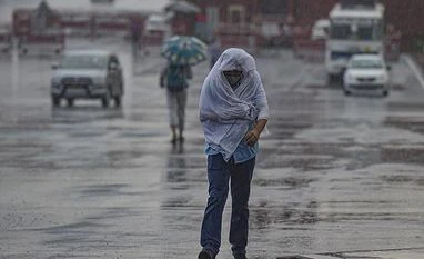
Northwest India is expected to witness "normal rainfall" in February while coldwave days in the region are less likely, the India Meteorological Department said on Wednesday.
Normal to below normal minimum temperatures are likely over most parts of the country except northeast and adjoining east India, the weather office said.
Below-normal maximum temperatures are likely over most parts of peninsular India during February, India Meteorological Department (IMD) Director-General M Mohapatra said.
"The 2023 February rainfall averaged over northwest India is most likely to be normal (89-112 per cent of LPA). The long-period average (LPA) of rainfall over northwest India during February, based on the data of 1971-2020, is about 65.0 mm. Meanwhile, days with coldwave conditions are expected to be less.
"Monthly rainfall over the country as a whole during February 2023 is most likely to be normal (82-119 per cent of LPA)," Mohapatra said during a press conference.
The long-period average -- the rainfall recorded over a particular region for a given interval -- during February, based on data from 1971 to 2020, is about 22.7 mm.
More From This Section
Above-normal maximum temperatures are very likely in most parts of east and northeast India, east-central India and some parts of northwest and west-central India.
The minimum temperatures are most likely to be normal to below normal over most parts of the country except northeast and adjoining east India, northern parts of the west coast and some parts of northwest India, where it is most likely to be above normal.
"The probability forecast for the maximum temperatures indicates that during February, below-normal maximum temperatures are likely over most parts of peninsular and some parts of central India.
"Above-normal maximum temperatures are very likely in most parts of east and northeast India, east-central India and some parts of northwest and west central India," Mohapatra said.
The national capital logged eight coldwave days in January -- the most in the month in 15 years. It saw seven coldwave days in January 2020 but it did not record any such day last year.
The city recorded two intense coldwave spells - from January 5 to 9 and from January 16 to 18, according to IMD data. It, however, did not record any cold days.
Delhi also logged over 50 hours of dense fog in January, the highest since 2019.
In January, normal to below normal rainfall occurred over most parts of the country and above normal rainfall over the west coast and northeast India, the IMD chief said.
"Below-normal maximum temperature was experienced over most parts of northwest India and adjoining central India. Above normal maximum temperature probability was observed in north and peninsular India," Mohapatra said.
"Below normal minimum temperature was experienced over many areas of west-central and interior peninsula and one region over northeast India in January," the IMD chief added.
)