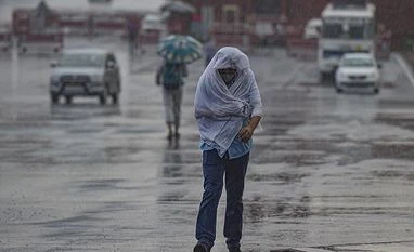
North, central and western parts of India is likely to see subdued rainfall activity during the next four days, the India Meteorological Department (IMD) said on Wednesday.
During the same period, the eastern part of the country is likely to see an increase in rainfall activity, it said.
The IMD said the entire monsoon trough lies close to the foothills of the Himalayas. It is likely to remain there till August 26.
"Subdued rainfall activity is likely to continue over the northwest, central India and west coast during the next four days," the IMD said.
Strong southerly or southwesterly winds from the Bay of Bengal to northeast India are very likely to continue to prevail till August 26.
Widespread rainfall activity with isolated heavy to very heavy falls are very likely to continue over northeast India, sub-Himalayan West Bengal and Sikkim till August 27 and reduce thereafter with isolated heavy rainfall over the region.
Also Read
Fairly widespread to widespread rainfall activity with isolated heavy to very heavy rainfall is very likely to continue over Uttarakhand till August 29 and isolated heavy rains likely over Bihar and east Uttar Pradesh till August 27.
The weather department also predicted thunderstorms accompanied by lightning over east India during the next two days.
Scattered to fairly widespread rainfall activity with isolated heavy rains over Tamil Nadu are likely during the next five days and over Kerala and Mahe from August 27-29, it said.
(Only the headline and picture of this report may have been reworked by the Business Standard staff; the rest of the content is auto-generated from a syndicated feed.)
)