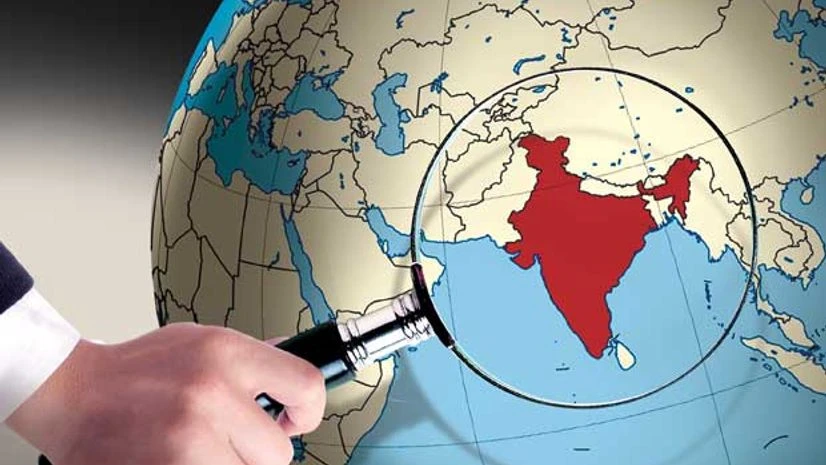
Reacting strongly to Pakistan seeking United Nations’ intervention in the geospatial map issue, the government on Tuesday stated that Pakistan had no standing in the matter as it was an internal matter.
Pakistan, earlier on Tuesday, had raised concerns with the UN over India’s Geospatial Information Regulation Bill 2016 which was to be introduced in the Indian Parliament.
Business Standard breaks down as to what went down that led to the diplomatic war of words between the nations.
What are the provisions of the Bill?
Among many recommendations of the Bill, what seems to have caught Pakistan’s eye is the depiction of Jammu and Kashmir.
Also Read
As per the provisions in the Bill, a wrongful depiction of the map of India will lead to an imprisonment of seven years and a fine of up to Rs 100 crore. “Whoever depicts, disseminates, publishes or distributes any wrong or false topographic information of India including international boundaries in contravention of section 6, shall be punished with a fine ranging from Rupees ten lac (sic) to Rupees one hundred crore and/or imprisonment for a period up to seven years,” the Bill states.
The government is said to have undertaken this move after social networking sites showed J&K to be a part of Pakistan and Arunachal Pradesh as a part of China.
How did Pakistan react to the Bill?
Pakistan raised ‘serious concerns’ with the UN as it wrote to the Secretary General and the President of the UN Security Council stating that India’s official map, which is mentioned in the Bill, shows J&K to be a part of India, which is ‘factually incorrect’ and legally untenable.
"The letter calls upon the UN to uphold UNSC resolutions and urge India to stop such acts which are in violation of international law. We have urged the international community and the UN to fulfil their commitment with the people of J&K by holding an independent and impartial plebiscite under UN auspices," a statement from Pakistan added.
— SpokespersonMOFA (@ForeignOfficePk) May 17, 2016
How did India react?
India, in its response, hit back at Pakistan stating that the issue was entirely internal and the nation had no business seeking UN’s help. It said that it was open to addressing the issue bilaterally with Pakistan.
"We don't take cognisance to Pakistan's objection to the Draft Bill . We will take suggestions and views of citizens, experts and various stakeholders before its finalisation.
But it is the duty of the government that India's map is depicted properly," Kiren Rijiju, Union Minister of State for Home Affairs said on Tuesday.
“The proposed Bill is an entirely internal legislative matter of India, since the whole of the state of J&K is an integral part of India. Pakistan, or any other party has no locus standi in the matter,” Vikas Swarup, Spokesperson, Ministry of External Affairs said in a statement.
Our response to @ForeignOfficePk's Statement on our Geospatial Bill pic.twitter.com/OGPb5zRWMH
— Vikas Swarup (@MEAIndia) May 17, 2016

)
