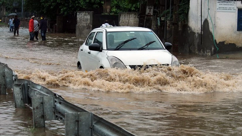
Heavy rainfall over parts of south and northeast India is likely over the next five days, the Indian Meteorological Department said on Wednesday.
An off-shore trough at mean sea level runs from south Maharashtra coast to north Kerala coast and a cyclonic circulation lies over east-central Arabian Sea off Karnataka coast, the IMD said.
A cyclonic circulation also lies over Gangetic West Bengal and neighbourhood. A low pressure area is also likely to form over west-central Bay of Bengal, it said.
Under the influence of these systems, parts of northeast and south India are likely to receive heavy precipitation, it added.
Heavy rainfall at isolated places is also very likely over sub-Himalayan West Bengal and Sikkim during the next five days and over northeast India during the next four-five days.
Rainfall distribution and intensity is very likely to increase over Odisha, coastal Andhra Pradesh and Yanam, Telangana, Vidarbha and adjoining areas from September 12 onwards.
More From This Section
Fairly widespread rainfall with isolated heavy falls, thunderstorm and lightning is very likely over peninsular India during the next four-five days, the IMD said.
Heavy to very heavy rainfall at isolated places is very likely over coastal Karnataka during September 10 to 13, in south interior Karnataka during September 9-12, in Kerala and Mahe during September 9-11, it said.
(Only the headline and picture of this report may have been reworked by the Business Standard staff; the rest of the content is auto-generated from a syndicated feed.)

)
