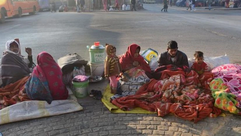
Like 2022, winter in India has bid adieu to the country early this year as well.
Temperatures across Northwest and Central India have been settling well above normal, paving way for hot weather, experts warned.
In fact, India faced its hottest February in 2023 since record-keeping began in 1901, with an average maximum temperature of 29.54-degree Celsius, according to India Meteorological Department (IMD).
Meteorologists are predicting tougher times ahead with increased probability of heatwave during the upcoming summer season. Threat of crop damage has been looming large with the increasing heat stress.
More From This Section
According to scientists, the prevailing weather conditions are a result of increasing global warming, which they have been warning against for quite some time now. Continuous increase in the global mean temperatures has been impacting dynamics of the larger weather phenomena such as western disturbances and ENSO (El Nino Southern Oscillation).
Change in characteristics of these systems has largely affected the precipitation over India during the winter season.
According to meteorologists, the anomaly in the temperatures and rainfall is the result of alterations in the weather patterns. The intensity as well as frequency of western disturbances has been on the lower side this winter season.
The western disturbance is known to drive the weather activities and bring winter to Northwest India and adjoining areas of Central India. Although January saw a good number of active western disturbances, they could not have any impact on the weather across the Indo-Gangetic plains.
By mid-November, both the intensity as well as the frequency of western disturbances started increasing across Western Himalayas. Besides, these bands of clouds also started moving in the lower latitudes, increasing the chances of precipitation.
November is also known as the transition month, allowing winter to seep in. Usually by the end of the month, higher reaches of Himalayan states of Jammu and Kashmir, Himachal Pradesh, and Uttarakhand record one or two spells of moderate to heavy snow and rainfall.
However, this was not the case during November 2022.
Five western disturbances moved across Western Himalayas, out of these, two western disturbance (November 2-5 and 6-9) caused isolated to scattered rain or snowfall over the hilly states and adjoining foothills.
The other three western disturbances were feeble (November 13-15, 18-21 and 22-24) and did not affect the region.
December started on a warmer note. With no rain or snowfall, winter chill kept evading the entire Northwestern plains and the adjoining parts of Central India.
The month saw seven western disturbances, out of these, only one (December 28-30) caused rain or snowfall over Western Himalayas and the adjoining plain areas. However, the remaining six western disturbances were feeble and did not affect the region significantly.
January started on different note, with several western disturbances of moderate to active intensity making appearances at regular intervals. With this, Northwest India, especially the hilly states, recorded widespread rain and snow. As a result, the region ended with excess rains to the tune of 28 per cent.
However, with low intensity of any weather systems in the Bay of Bengal, the rains could not cover the adjoining parts of Central India that continued to see rain deficiency.
During January, seven western disturbances moved across the North Indian region. Out of these, four (January 11-14, 18-21, 23-27 Jan and 27-30) caused rain or snowfall over Western Himalayan Region and rainfall over adjoining plains.
In fact, the last two western disturbances (January 23-27 and 27-30 Jan) were active, causing isolated heavy rainfall and isolated hailstorms in Northwest India.
The other three western disturbances (January 1-3, 3-5 and 5-10) were feeble and moved away without significantly affecting the region, except isolated very light snow over the higher reaches of the region.
Passage of these western disturbances was followed by chilly winds from ice-capped Himalayas, triggering cold wave to severe cold wave conditions that prevailed during January 1-9 and January 14-18 over Northern and Central parts of India.
February followed the pattern as in December when there were back-to-back western disturbances, but they were not significant to give any precipitation over northwest India.
In fact, the arrival of western disturbance in quick succession blocked the chilly northerly winds from Himalayas from reaching the region.
As a result, maximum temperatures continued to rise and settle well above normal average, said an expert.
There is consensus among scientists and meteorologists over the fact that this is the era of climate change.
According to a report by the Intergovernmental Panel on Climate Change (IPCC), an intergovernmental body of the United Nations, the occurrence of extreme heatwaves will very likely increase in Asia.
Projections show that a sizable part of South Asia, including India, will experience heat stress conditions in the future.
It is virtually certain that cold days and nights will become fewer.
(Vishal Gulati can be contacted at gulatiians@gmail.com)
--IANS
vg/arm
(Only the headline and picture of this report may have been reworked by the Business Standard staff; the rest of the content is auto-generated from a syndicated feed.)

)
