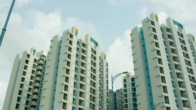
Uttar Pradesh real estate watchdog has introduced the technology of satellite mapping to monitor illegal and dubious realty projects in the state.
UP Real Estate Regulatory Authority (RERA) has engaged Remote Sensing Application Centre (RSAC) for inspection of construction sites within 10 km of the Lucknow Development Authority (LDA) limits in Lucknow and adjoining Barabanki districts with the help of satellite data.
In fact, RSAC has already completed 40% of the mandated satellite mapping work, which has been undertaken as a pilot, and the final report is likely to be submitted by June-end 2019.
RSAC was established in 1982 by the UP government

)