Business Standard

Wednesday, January 08, 2025 | 11:13 PM ISTEN Hindi

Notification Icon
userprofile IconSearch

Nepal approves new map incorporating Kalapani, Limpiyadhura, Lipulekh

The Lipulekh Pass is claimed by Nepal based on the 1816 Treaty of Sugauli it entered with the British colonial rulers to define its western border with India

India nepal border
Premium

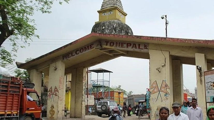
The new map also incorporates Limpiyadhura, Lipulekh, and Kalapani, territories claimed by Nepal.| Photo: Wikimedia Commons

ANI
Yubraj Khatiwada, Minister of Finance and Information and Communication, announced that a new political map of Nepal is being issued.

"The updated map of Nepal presented by the Ministry of Land Management in today's Council of Ministers meeting has been endorsed. The new map incorporates northern, southern, western and eastern International borderlines as well as includes the political and administrative arrangements," Khatiwada, also the government spokesperson said on Monday.

"This new map will be used in all kinds of documents which has been enforced on by government," he added.

Nepal's President Bidhya Devi Bhandari, while reading out Plans and Policies of the Government
Topics : Nepal

What you get on BS Premium?

  • Unlock 30+ premium stories daily hand-picked by our editors, across devices on browser and app.
  • Pick your 5 favourite companies, get a daily email with all news updates on them.
  • Full access to our intuitive epaper - clip, save, share articles from any device; newspaper archives from 2006.
  • Preferential invites to Business Standard events.
  • Curated newsletters on markets, personal finance, policy & politics, start-ups, technology, and more.
VIEW ALL FAQs

Need More Information - write to us at assist@bsmail.in