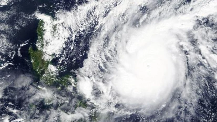
Forecasters expect the newly-formed Tropical Storm Eta to become a hurricane by Monday, shortly after the system formed in the Caribbean and tied the record for more named storms in a single Atlantic hurricane season.
The system had maximum sustained winds of 40 mph (65 kph) early Sunday, the US National Hurricane Centre said in an advisory. It was centred 205 miles (330 kilometres) south-southeast of Kingston, Jamaica, and 500 miles (805 kilometres) east of Cabo Gracias a Dios on the Nicaragua/Honduras border.
Forecasters expect Eta to become a hurricane by Monday. The system is forecast to be near the northeastern coasts of Nicaragua and Honduras by Tuesday morning. A hurricane watch was issued for parts of both countries. Eta was moving west at about 15 mph (24 kph).
Rainfall totals could reach 15 inches (38 centimetres) in parts of Jamaica, the Cayman Islands and the southern coast of Hispaniola by Thursday evening. Local amounts of up to 30 inches (76 centimetres) could fall in portions of Honduras and Nicaragua, forecasters said.
Eta is the 28th named Atlantic storm this season, tying the 2005 record for named storms. However, this is the first time the Greek letter Eta is being used as a storm name because in 2005, after the season ended meteorologists went back and determined there was a storm that should have gotten a name, but didn't.
Hurricane season still has a month to go, ending November 30. And in 2005, Zeta formed in the end of December.
(Only the headline and picture of this report may have been reworked by the Business Standard staff; the rest of the content is auto-generated from a syndicated feed.)

)
