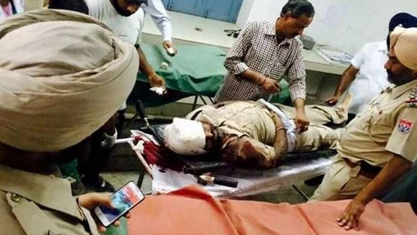
Despite Home Minister Rajnath Singh's statement in parliament that the three terrorists who launched the attack in Dinanagar town of Punjab's Gurdaspur district on July 27 had entered India by crossing the Ravi river along the India-Pakistan border, doubts are now being raised about the authenticity of the GPS (global positioning system) coordinates recovered from the killed militants.
"We have not found any evidence of the terrorists using the route (as indicated by the GPS coordinates)," BSF Deputy Inspector General (DIG) of police N.K. Mishra told IANS.
Sources in the Border Security Force (BSF), which guards the India-Pakistan border 24x7, pointed out that no traces of the movement of terrorists through the Ravi river route and beyond have been found which could establish that they entered from the Makoda area of Bamiyal sector of Gurdaspur district.
The area borders Pakistan on the west and Jammu and Kashmir on the north.
"It is impossible that no traces were left by the terrorists while crossing the well-guarded river or footmarks on the river bank or even crawling tracks in the wild growth (Sarkanda) in the area." a BSF source, involved in investigating and tracking the route taken by the terrorists, told IANS in this frontier sector.
More From This Section
"The GPS coordinates found on the equipment recovered from the terrorists could be misleading," he added.
BSF officers feel that the terrorists could have entered through some place in adjoining Jammu and Kashmir and later arrived in Punjab.
BSF officials also point out that even if the GPS coordinates were to be believed, it was impossible for the terrorists to traverse the terrain so quickly and reach Dinanagar for carrying out the attack.
As per the GPS coordinates recovered, the terrorists entered through the Ravi river in Makoda area and moved along Narowal, Bala Pindi, Chak Alla Baksh (all in Pakistan), railway track near Talwandi village, Chottu Nath Mandir, Dinanagar to Taragarh road, near village Jakhar Pindi to SSM College in Dinanagar.
It was believed that the terrorists followed this route on the intervening night of July 26-27, planted bombs on the railway track near Parmanand railway station and then moved to Dinanagar town for the attack.
The BSF sent a team of its troopers on the route and found that the team took over six hours to reach the railway track alone. This did not include the time taken to cross the river, which is not easy to cross either, and planting of bombs on the railway track.
The attack in Dinanagar started around 5.25 am. The terrorists engaged security forces in an over 11-hour long gun-battle before being neutralised by the Punjab Police.
"The GPS coordinates could have been loaded on the sets to mislead security agencies. The terrain is not easy to move freely. Even otherwise, how could such heavily armed terrorists not be seen by anyone all along even though it was night time," one officer said.
The Ravi river has Cobra electric wires and the river is guarded round-the-clock with motorboats, day and night devices and floodlights. The river, in the current monsoon season, has a heavy flow of water.
The electrified, barbed wire fencing along the border has also not been breached in the sector, BSF sources said.

)
