)
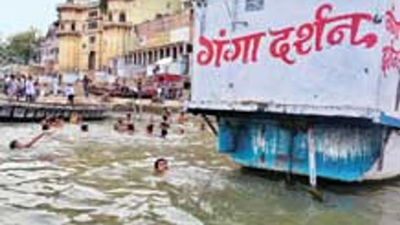
The Survey of India will take up works for geographical identification of sources contributing to the pollution of River Ganga right from Gangotri to its mouth near Bay of Bengal.
The Rs 542-crore estimated ‘Survey of Ganga’ project will provide the central government with exact ground level coordinates of all polluting sources located in the entire 250,000 square kilometre Ganga Basin.
“We are in advance stages of finalising the Rs 542-crore project from the National Mission for Clean Ganga. Works may start in the next two months or so. To clean a river like that, we need to know exactly the polluting sources,” said Swarna Subba Rao, surveyor general of India.

Rao said the department would complete the entire mapping work within 18 months, while it would outsource some of the project works like air photography, LIDAR (laser technique) specialised imagery and hydrological survey of Ganga to other partners. Interestingly, under the project, even households causing pollution would also be mapped, said Rao.
He said the department had been approached for carrying out survey works for the Centre’s river linking project.
He was speaking to mediapersons on the sidelines of the three-day Indian National Cartographic Association's 34th international congress on the theme 'Cartography-Exploring New Dimensions that began here on Wednesday.
More than 200 delegates, including scientists, officers and researchers are participating in the event to present their research and technical papers.